


Map
Published by Paris Paniconographie de Gillot 1861
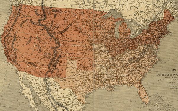
Courtesy of Library of Congress Geography and Map Division Washington, D.C. 20540-4650
Reference Number: G3700 1861 .E7 CW 11.5
Map
Published by Paris Paniconographie de Gillot 1861
Courtesy of Library of Congress Geography and Map Division Washington, D.C. 20540-4650
Reference Number: G3700 1861 .E7 CW 11.5